RS Púšť – Malá Lehôtka – Hradec – Handlová – Nová Lehota – Dierovce – Pod Bielym Kameňom – Biely Kameň – Podhradie – Lehota pod Vtáčnikom – Háje – Koš – Prievidza. Moderately demanding route with a length of 65 km, elevation: 1450 m

RS Púšť – Malá Lehôtka – Hradec – Handlová – Nová Lehota – Dierovce – Pod Bielym Kameňom – Biely Kameň – Podhradie – Lehota pod Vtáčnikom – Háje – Koš – Prievidza. Moderately demanding route with a length of 65 km, elevation: 1450 m
Hiking trail from RS Púšť 32,7 km/12,05 h | Cycling trail from RS Púšť 19,1 km/1,13 h
Maximum altitude 1 346 m above sea level, minimum altitude 285 m above sea level, ascent +1 195 m, descent -1 370 m, route: blue marker: Cígeľ – Dierovce, red marker: Pod Bielym kameňom – Jarabá skala – Tri chotáre – Kanie studne – Malá Homôľka – Vtáčnik – Kláštorská skala, yellow marker: Horný dom, blue marker: Bystričianska dolina – Sekaniny, yellow marker: Gepňárova dolina – Kamenec pod Vtáčnikom.
Hiking trail from RS Púšť 28,7 km/10,39 h | Cycling trail from RS Púšť 23,9 km/1,47 h
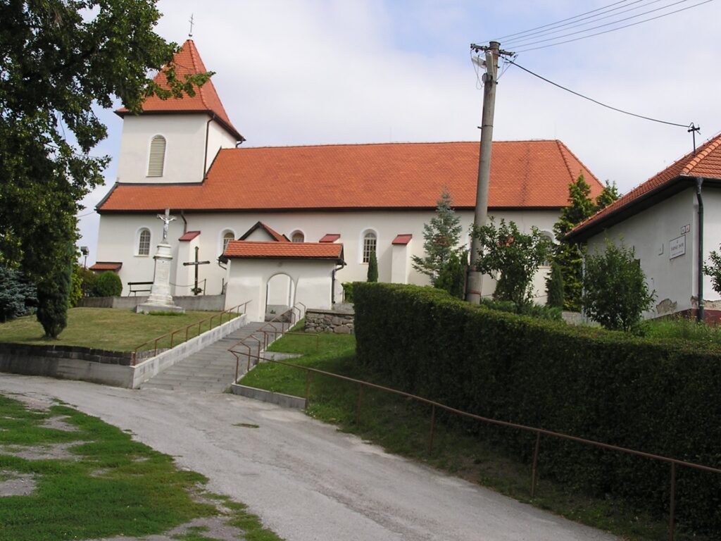
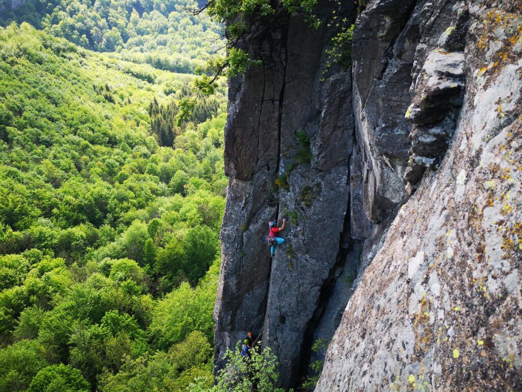
The wall is made of andesite and there is a characteristic and very interesting detachment of this volcanic rock. Andesite was once mined in the Hrádok locality. Today the wall is used as a rewarding destination especially for rock climbers, who have built several climbing routes here. It is about half a kilometre long and about 100 metres high. It inspires real respect. Hrádok is the second largest climbing area in Slovakia after the Tatras.
Hiking trail from RS Púšť 23,2 km/8,17 h | Cycling trail from RS Púšť 11,1 km/1,01 h
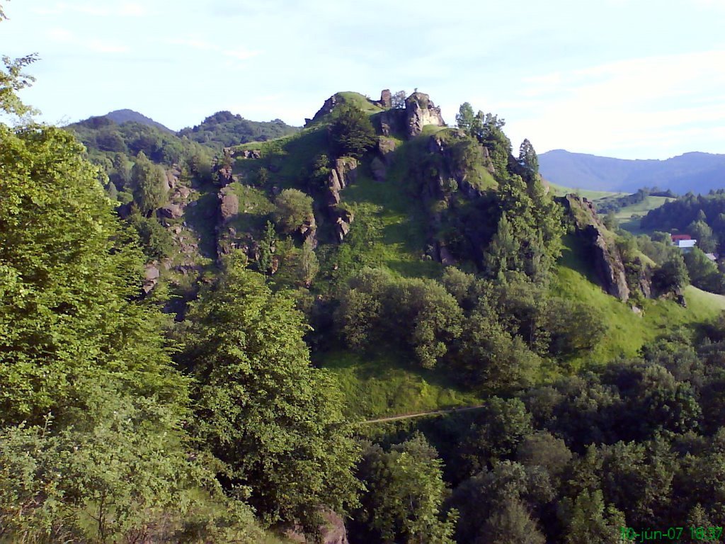
Near Prievidza in the village of Podhradie are the ruins of the 14th century castle Sivý Kameň, which served as a royal castle and had several owners during its existence. After it was burnt down, it was the target of the uprisings of the Estates of Bethlen and later of Francis II. The 17th century turned Sivý Kamen into a ruin. The castle was managed for some time by the Maiteni family, but in 1626 the castle was conquered and plundered by soldiers. Later, the destruction of the castle was completed by the inhabitants of Prievidza, who eventually used its remains as building material. The ruins of the castle are in a quiet environment surrounded by nature, it is an easy hiking. The view from the castle overlooks the region from Partizánské to Prievidza. In 1973 the castle was declared a National Cultural Monument.
Hiking trail from RS Púšť 22,9 km/7,55 h | Cycling trail from RS Púšť 27,5 km/2,13 h
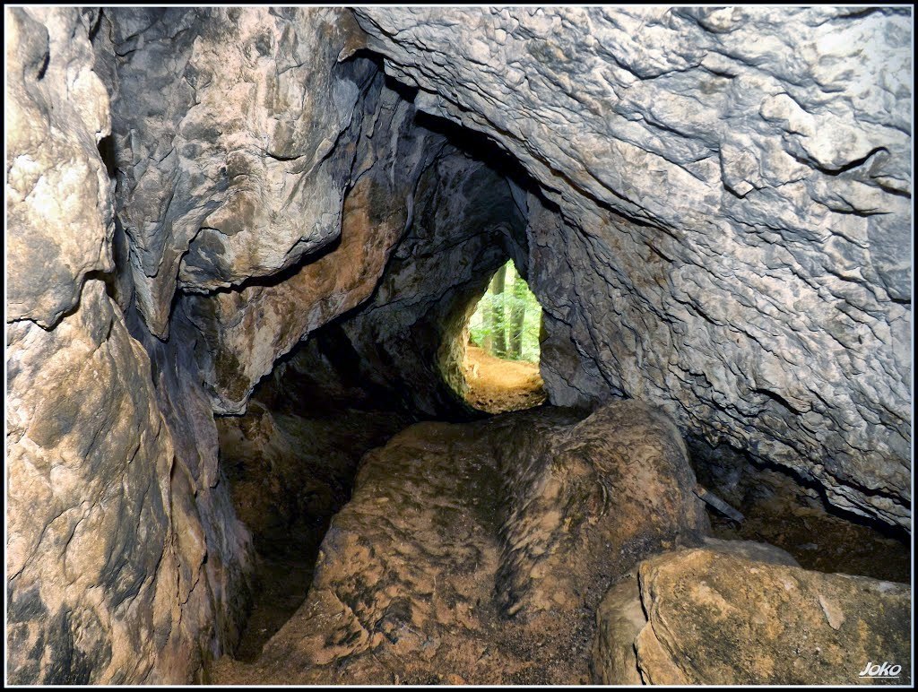
It starts above Ráztočný in the Žiar Mountains. This 20 m high limestone rock is especially popular with technical climbers, but it definitely has something to offer to hikers and nature lovers as well. Hájska rock is interesting for its surface karst formations, the so-called scrapes, but perhaps the most attractive are the views from its upper parts. You can admire views of the entire Handlovská valley, the Vtáčnik mountain range, Ráztočno or the Strážovské vrchy mountains in the west. In good weather you will certainly see Bojnice Castle. In the massif of the Hájská rock there is also the Hájska Cave, which is 25 m long and freely accessible to the public. According to the findings, the cave was inhabited already in the Neolithic.
Hiking trail from RS Púšť 18,5 km/6,59 h | Cycling trail from RS Púšť 15,1 km/1,47 h
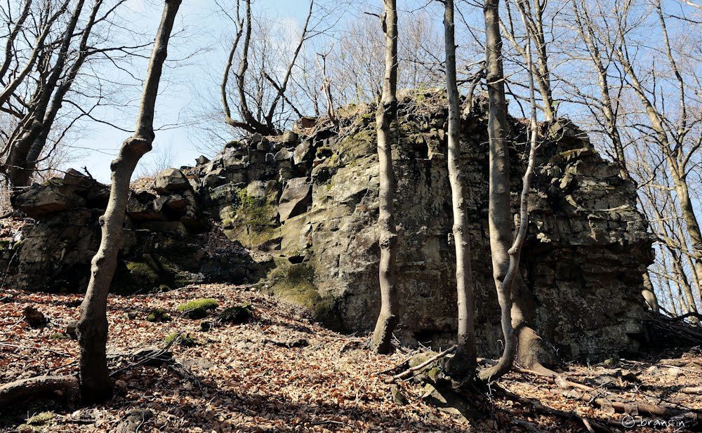
Located in the central part of the Vtáčnik mountains, above the village of Podhradie, it is part of the red-marked ridge trail along Vtáčnik. The hill is covered by a mixed forest and the border of the Ponitrie Protected Landscape Area runs through it. The upper parts are formed by interesting rock formations. The hike is not very demanding, but you should expect a steeper climb, especially in the upper parts. You can also get here by following the yellow trail from the picturesque village of Podhradie (approximately 4.5 km). Below Jarabá skala you can connect to the Ponitrianská magistrala and from the rocky peak of Jarabá skala, alternately descending and ascending steadily along the ridge of Predný Kľak, you can reach Tri Chotáre.
Hiking trail from RS Púšť 18,3 km/6,29 h | Cycling trail from RS Púšť 28,3 km/2,32 h
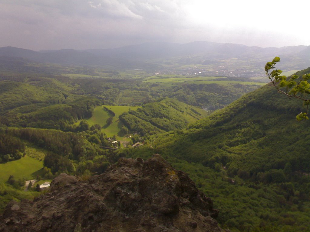
You can start the ascent to the Bralova rock at the REMATA hotel following the yellow trail. You will follow a moderately difficult mountain trail of about 1 km through the forest and rock formations. The starting point can also be Sklené, Ráztočno, Handlová or Kunešov. The rock itself is not safety limited, so be careful, because there is a danger of falling. A 3 km long single-track railway tunnel on the line Prievidza – Horná Štubňa runs under the peak. From the partially deforested peak there are nice views of the surroundings, especially of the Handlovská valley, the Turčianska basin, Prievidza and the surrounding peaks of Žiar, Mala Fatra, Kremnické vrchy and Vtáčnik.
Hiking trail from RS Púšť 17,2 km/6,34 h | Cycling trail from RS Púšť 15,3 km/1,47 h
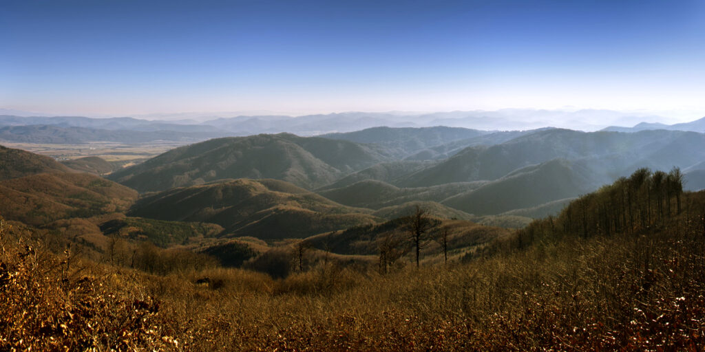
The mountain of volcanic origin Vtáčnik abounds with nooks and crannies that are not explored by tourists. This is also the case of the Orlí kameň hill. It is located in the central part of the Vtáčnik Mountains, above the village of Podhradie. This hill does not stand out significantly in the surroundings, as it is densely overgrown with mixed forest, but it offers great and undisturbed hiking. The top part is deforested on one side, thanks to which there are beautiful views of the Kľacka valley. If you still have enough strength, you can continue to the neighbouring Jarabá skala or Biela skala.
Hiking trail from RS Púšť 14,1 km/5,26 h | Cycling trail from RS Púšť 13,1 km/1,32 h
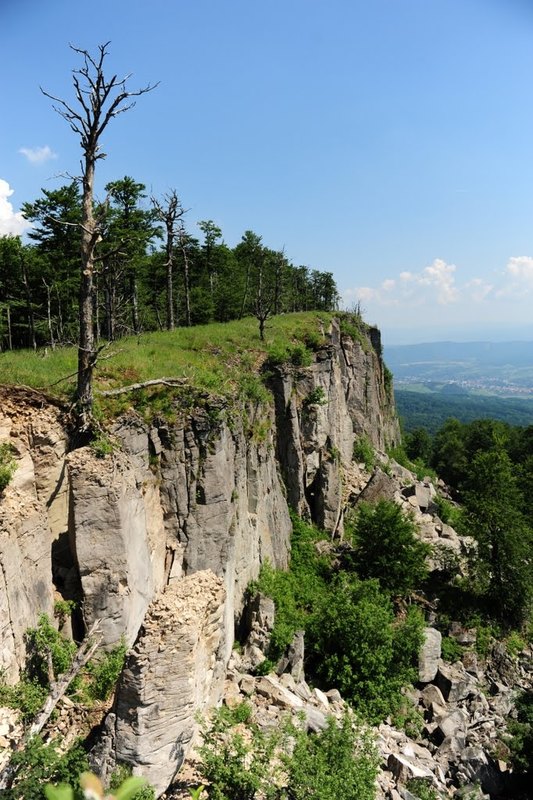
An impressive rocky peak in the northeastern part of the volcanic Vtáčnik mountain range. No marked hiking trail leads here. The northern and eastern slopes of the Vtáčnik Mountains are formed by a long and very steep rock precipice of columnar erosive disintegration of lava flows. The process of disintegration is still in progress, therefore the cliff is threatened with detachment. From the top parts there is a semicircular view from Veľká Fatra to Štiavnické vrchy. It is possible to visit the upper parts or the areas directly below the rock amphitheatre by the unofficial paths, which are dangerous. The red trail from Veľký Grič towards Vtáčnik also passes around the mountain. The starting point for hikes to this area can be the village of Cigeľ, Handlová via the hill Veľký Grič or from the village of Podhradie.